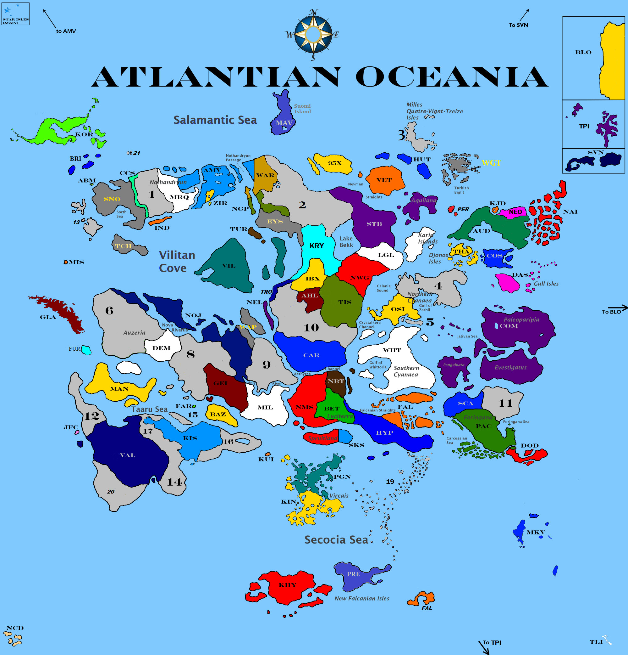
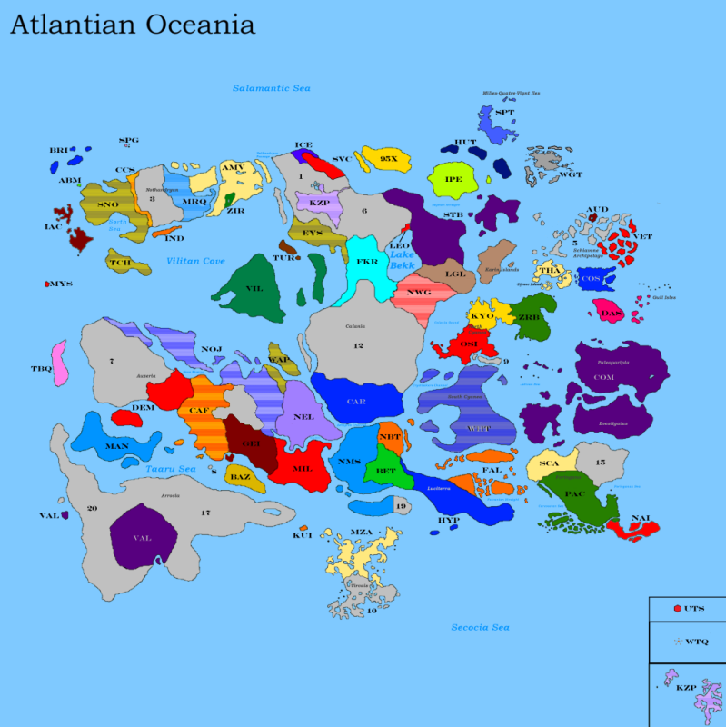
Nations with grayed-out abbreviations are puppets. Brown areas are ex-nations which are reserved for various reasons. The numbered regions are unclaimed.
There is no defined scale for the map; each nation can decide how much land their area on the map represents.
How to Acquire a Homeland:
1) To Acquire a homeland, you must reply in this thread noting the location you which to inhabit. A Homeland will not be granted unless you first post http://www.3wideracing.com/forums/index.php?showforum=8 a little something about your nation. - http://www.3wideracing.com/forums/index.php?showtopic=213 - http://www.3wideracing.com/forums/index.php?showtopic=152 -
2) When responding in this thread, you must decide which area of the map you would like to settle. Simply tell us which area you would prefer to settle into uing the handy numbers. You can see which continent is which with our also-handy http://www.3wideracing.com/forums/index.php?showtopic=185 )
3) Link to your RP when requesting land in this thread
4) Nations in breach of the http://www.3wideracing.com/forums/index.php?showtopic=95 will not be granted land until after they have updated their flag.
This Nation List was last updated on July 22nd, 2013. For an up to date Nation List, please look through this thread for ASMV's posts.
| CODE |
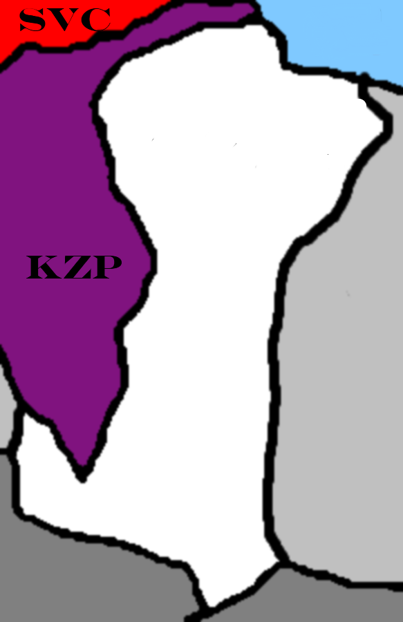
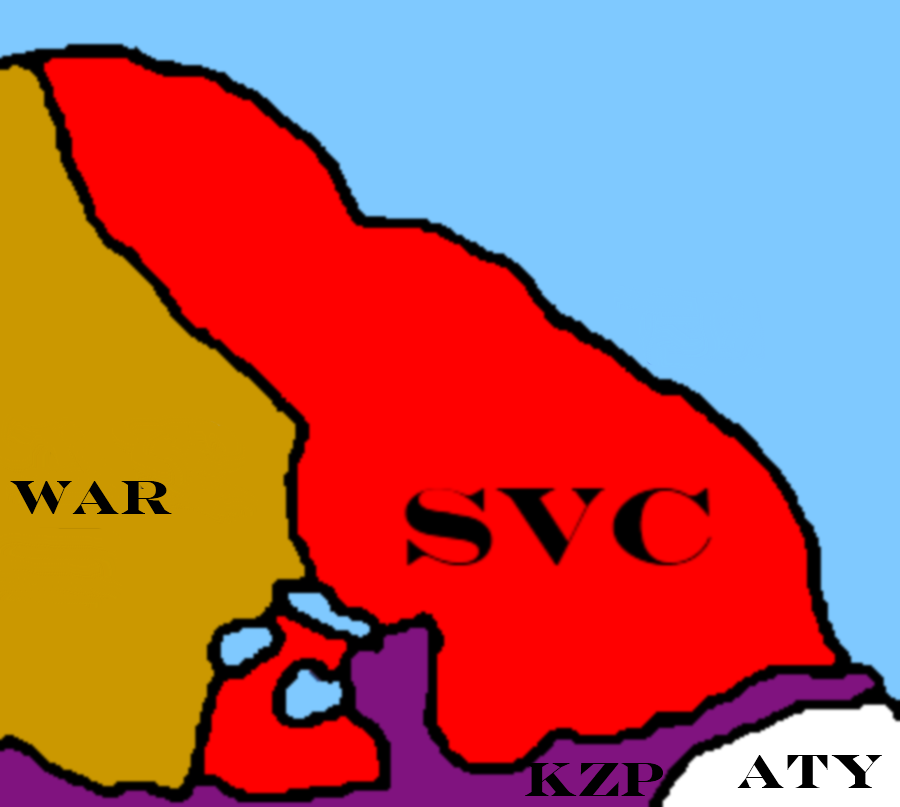
95X - 95X ABM - An Blascaod Mor (Snorth) ALF - Alhenfi AMV - Andossa Se Mitrin Vega ATY - Antaly AUD - Audioslavia AUS - Austenersey BAZ - Bazalonia BET - Bettia BLO - Blouman Empire BRI - The Bear Islands CAR - Carpathia and Ruthenia CCS - Confederation of Common States Protection Zone COM - Commerce Heights / Paripana COS - Cosumar DEM - Demot (Valanora) DAS - Dorian and Sonya DOD - Dominion of Drakia FAL - Falcania FAR - Farfadillis FUR - Furellum EYS - Eystrck [semi-protected] GEI - Geisenfried GLA - Glascovia HUT - Hutt River HYP - Hypocria IAC - Israeli Apartheid Client-State IBX - Ibex IND - Inis Na Dun (Snorth) JAY - Jay Industries JFC - Jeru FC KIS - Kishrael KJD - Kjeligsted KHY - Khytenna KIN - Kinitaria KOR - Ko-Oren KRY - Krytenia KUI - Kiryu-shi KZP - Kagdazka and Pazhujebu LAH - Lahoa LEO - Leorudo LGL - Legalese LLA - Lalo Limahina LMU - Lemurian Oceania MAN - Mantenwic MCK - Mckarthya MIL - Milchama MIS - Misrantis MKV - Maklohi Vai MRQ - Maraque NAI - Naitpyge NBT - Northern Bettia (Bettia) NCD - New Cloudsdale NEL - Nellietopia NEO - Neo Lemmitania NGP - New Gordonopia NMS - New Montreal States NOJ - Nojika NWG - New West Guiana OSI - Osarius PAC - Pacitalia PGN - Paragon SCA - Scandonia SKS - Secundus Kasius SNO - Sorthern Northland [uninhabitable] SPG - Sportgirls STB - Starblaydia SVC - Savski Venac SVN - Svengarda TCH - Tachbe [uninhabitable] THA - Thatius TIS - The Inevitable Syndicate TLI - The Lymryck Isles TUR - Turori (Vilita) UND - Undisputed Atols VAL - Valanora VET - Vettrera VIL - Vilita WAP - Wapakoneta [Regional Council] WAR - Warkus WGT - Wight WHT - Whittoria YEL - Yelvoldia ZIR - Zirakul (ASMV) Added Krytenia Lahoa Neo Lemmitania Removed Undisputed Atols – CTE (Color Still on UA due to paint issues) Endangered Map Claims Austenersey – CTE The Bear Islands – CTE Jay Industries - CTE Lahoa – CTE Lemurian Oceania – Balder Sportgirls – CTE Yelvoldia - CTE Note: The map on my computer is 5500 pixels wide. Save it and zoom in if you need to. |
 Ref: http://www.atlantianoceania.com/index.php?showtopic=167


 I always wondered about that.

 ... sorry